What Is GIS? A Plain-English Explanation for Developers
GIS solves a whole category of spatial problems that developers routinely hack around. Part 1 of a series on using GIS to build location-aware applications.
This is Part 1 of a series on using GIS to build location-aware applications, specifically a birding app. Future posts will cover PostGIS, open-source mapping, and offline spatial data.
Most developers have used location data at some point. Storing coordinates, calculating distances, maybe dropping some pins on a Google Map. But very few have heard of GIS, or if they have, they associate it with government agencies and mining companies rather than app development.
That's a shame, because GIS solves a whole category of problems that developers routinely hack around with bad application code.
The Definition
GIS stands for Geographic Information System. It's the practice of storing, analysing, and visualising data that has a geographic component.
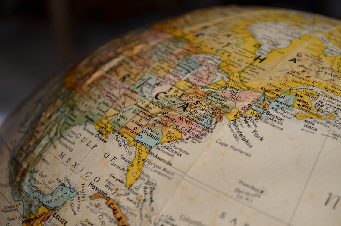
Any time data has a latitude and longitude, a boundary, a route, or a region attached to it, that's geographic data. GIS is the set of tools and techniques for working with it properly.
The field has been around since the 1960s. It started with cartography and land management, but today it underpins everything from ride-sharing apps to climate modelling to pandemic response.
What GIS Actually Does (Beyond Maps)
The most common misconception is that GIS equals maps. Maps are one output of GIS, but they're the tip of the iceberg. GIS is really about spatial computation: asking questions about the relationships between things based on where they are.
Some examples of the kinds of questions GIS can answer:
- Proximity: What are the five closest hospitals to this accident? Not "as the crow flies" close, but accounting for road networks and one-way streets.
- Containment: Does this property boundary fall inside a flood zone? Does this phone's GPS location fall within the borders of a national park?
- Pattern detection: Where are disease cases clustering? Are traffic accidents concentrated at specific intersections?
- Coverage: If we place mobile towers at these three locations, what percentage of the population can we reach?
- Change over time: How much forest cover has this region lost in the last decade?
None of these are "put a pin on a map." They're spatial analysis problems. And while you can bodge solutions to some of them in regular application code, GIS tools handle them faster, more accurately, and with far less code.
The Core Concepts
Geographic Data Types
Geographic data breaks down into two categories.
Vector data represents discrete features using geometry. There are three fundamental shapes:
- Points: A single coordinate pair. A restaurant, a sensor, a bird sighting.
- Lines (or LineStrings): An ordered series of coordinates. A road, a river, a hiking trail.
- Polygons: A closed shape. A country border, a property boundary, a species' habitat range.
Raster data represents continuous surfaces as grids. Each cell in the grid holds a value. Satellite imagery is raster data. So are elevation models, temperature maps, and rainfall grids. If vector data is like SVG, raster data is like a bitmap.
Most app development deals with vector data. Raster data is more common in environmental science, remote sensing, and agriculture.
Coordinate Reference Systems
The Earth is not flat (despite what some corners of the internet claim). It's not even a perfect sphere. It's an oblate spheroid, slightly squashed at the poles.
This matters because any time you project a 3D surface onto a 2D plane, you introduce distortion. A coordinate reference system (CRS) defines how that projection works: what assumptions are made, what gets distorted, and where.
The most common CRS is WGS 84 (EPSG:4326), which is what GPS uses. But there are thousands of others, each optimised for different regions or purposes. Australian mapping data often uses GDA2020 (EPSG:7844). Getting the CRS wrong is one of the most common sources of "why is everything offset by 200 metres" bugs.
Spatial Indexing
A naive approach to "find all restaurants within 5km" means checking the distance to every single restaurant in the database. That scales terribly.
Spatial indexes solve this. The most common type is the R-tree, which organises geometries into nested bounding boxes. Instead of checking every record, the database can quickly eliminate entire regions that are obviously too far away, then only do precise distance calculations on the handful of candidates that remain.
PostGIS creates spatial indexes automatically. This is a big part of why spatial queries in PostGIS run orders of magnitude faster than the same logic written in application code.
Where GIS Is Used Today
GIS tends to be invisible. It's running behind the scenes in apps and systems that people use every day without thinking about it.
Ride-sharing and delivery
Uber, Lyft, DoorDash, and similar services are GIS applications at their core. Matching a rider to the nearest driver is a spatial nearest-neighbour query. Calculating ETAs requires routing across road network geometries. Surge pricing zones are polygons. The entire business model depends on answering spatial questions in real time.
Urban planning and government
This is GIS's traditional home. Zoning maps, electoral boundaries, infrastructure planning, census data visualisation, emergency service dispatch. Most local councils run GIS systems to manage everything from stormwater drains to tree canopy coverage.
Agriculture
Precision agriculture uses GIS to vary fertiliser and water application across a field based on soil type, moisture levels, and crop health, all of which are spatial datasets. Drones collect raster imagery, GIS tools analyse it, and GPS-guided equipment acts on the results.
Environmental science and conservation
Tracking deforestation, modelling species distribution, planning wildlife corridors, assessing bushfire risk. Conservation biology runs on GIS. Organisations like the Global Biodiversity Information Facility (GBIF) aggregate hundreds of millions of species occurrence records and make them available as spatial data.
Public health
COVID-19 made this visible. Contact tracing, case clustering analysis, hospital capacity mapping, and vaccine distribution planning all relied on GIS. John Snow's 1854 cholera map (plotting cases around the Broad Street pump in London) is often cited as one of the earliest examples of spatial epidemiology.
Real estate and property
Property boundary data, flood zone overlays, land valuation models, proximity analysis ("how far is this house from the nearest school?"). Real estate platforms that show you a map with property pins are using GIS whether they call it that or not.
Logistics and supply chain
Route optimisation for delivery fleets. Warehouse placement to minimise average delivery distance. Coverage analysis for distribution networks. FedEx, Amazon, and Australia Post all depend heavily on spatial analysis for operational decisions.
Telecommunications
Mobile tower placement is a classic GIS coverage problem. Where do you put towers to maximise population coverage while minimising cost? The terrain (a raster elevation model), population density (another raster), and existing infrastructure (vector points) all factor in.
The Open-Source GIS Stack
One thing that surprises most developers coming to GIS for the first time is how mature the open-source ecosystem is. You don't need expensive proprietary software.
PostGIS extends PostgreSQL with spatial data types and hundreds of spatial functions. Store geometries, run distance calculations, check polygon containment, cluster points, and generate map tiles, all inside your existing database. If you're already using Postgres, this is the easiest entry point.
QGIS is a desktop application for exploring and visualising spatial data. It reads dozens of formats, connects directly to PostGIS databases, and handles both vector and raster data. Think of it as a workbench for understanding datasets before writing code.
GDAL/OGR is a command-line library for reading, writing, and converting between spatial data formats. Shapefiles, GeoJSON, GeoPackage, KML, GeoTIFF, and about 80 others. If someone hands you spatial data in a weird format, GDAL can probably read it.
MapLibre GL is an open-source map rendering library for web and mobile (forked from Mapbox GL). GPU-accelerated, vector tile based, and free to use without API keys or usage limits.
Protomaps / PMTiles is a format for serving map tiles from a single static file hosted on object storage. No tile server infrastructure required.
All of these tools are production-grade. They power government systems, commercial platforms, and research institutions around the world.
Why Developers Should Pay Attention
The reason GIS matters for app developers is simple: a huge number of applications have a spatial dimension that's being handled poorly.
Any time someone writes a distance calculation using the Pythagorean theorem on latitude/longitude pairs (treating them as flat coordinates), that's a bug. Any time a "find nearby" feature scans every row in a table, that's a performance problem. Any time a developer manually implements point-in-polygon testing in application code, that's unnecessary complexity.
PostGIS handles all of these correctly, fast, and in a few lines of SQL. For developers already
running PostgreSQL, the barrier to entry is literally
CREATE EXTENSION postgis;.
What's Next in This Series
The rest of this series will get practical, covering how GIS applies to building a real application, specifically a birding app called BirdUp.
- What is GIS (this post)
- PostGIS fundamentals for app developers who've never touched spatial data
- Species probability by location using spatial queries on occurrence data
- Open-source maps with MapLibre and Protomaps as an alternative to Google Maps
- Habitat-aware features by cross-referencing coordinates with vegetation data
- Offline-first spatial data for apps that need to work without connectivity
I'm building BirdUp, a birding app for Australia. This series documents the GIS side of that build.